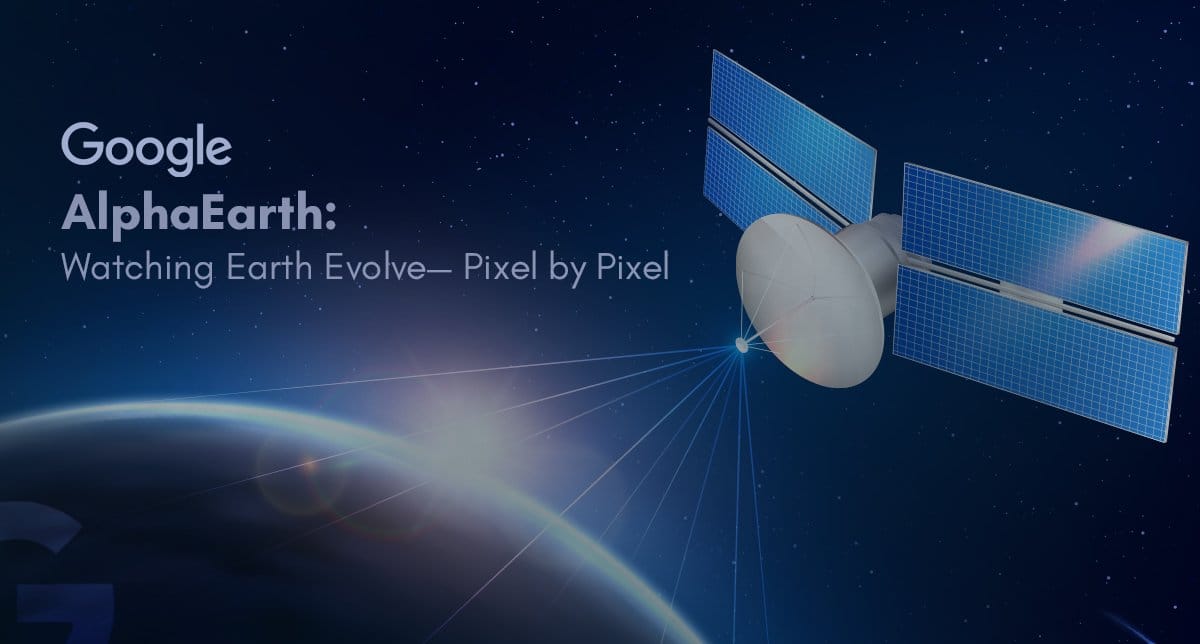
The Next Leap in Earth Observation
In a world where climate change, food security, and urban expansion demand real-time answers, Google has unveiled a breakthrough technology — Google AlphaEarth Foundations. Developed by Google DeepMind as part of the Google Earth AI initiative, AlphaEarth isn’t a satellite in orbit but an AI-powered “virtual satellite” that can map and analyze Earth’s land and coastal waters with unprecedented detail and consistency.
For businesses, governments, and researchers, this marks a turning point in planetary-scale data intelligence — unlocking insights that were once impossible to obtain with traditional satellite imaging.
What is Google AlphaEarth Foundations?
AlphaEarth Foundations is an advanced AI model that integrates massive datasets from multiple Earth observation sources into a unified, high-resolution digital map of the planet. Instead of launching new satellites, it harnesses publicly available data from:
- Optical satellites like Sentinel-1, Sentinel-2, and Landsat
- Radar data for all-weather visibility
- 3D LiDAR mapping for precise elevation modeling
- Climate simulation outputs
- Environmental datasets from global agencies
- Geotagged text and field reports
From these sources, AlphaEarth builds a 10×10 meter “digital embedding” for every square of Earth’s terrestrial and coastal surface — a compact yet information-rich profile that computers can easily analyze.
Key Features & Capabilities
1. Unmatched Global Consistency
Unlike traditional mapping methods affected by irregular satellite passes, AlphaEarth delivers uniform coverage across the globe — even in cloud-covered or polar regions like Antarctica.
2. See the Unseen
- Penetrates persistent cloud cover to reveal crop health and land use.
- Detects subtle agricultural patterns invisible to the human eye.
- Maps complex terrains where traditional imaging struggles.
3. Compact & Efficient
AlphaEarth creates summaries that are 16× smaller than other AI mapping systems, cutting storage costs and processing times dramatically.
4. High Accuracy, Even with Limited Data
In tests, AlphaEarth delivered 24% lower error rates than competing systems, proving especially effective in data-scarce regions.
5. Time-Continuous Mapping
Beyond capturing current data, AlphaEarth can interpolate or extrapolate missing data, enabling detailed historical or predictive maps for any date range.
Real-World Applications
The Satellite Embedding dataset from AlphaEarth, available in Google Earth Engine, is already in use by over 50 organizations globally.
Key applications include:
- 🌾 Agriculture & Food Security: Monitor crop health, forecast yields, and detect early signs of drought or pests.
- 🌳 Deforestation & Conservation: Track illegal logging and support reforestation programs.
- 🏙 Urban Planning: Analyze infrastructure growth and land-use changes.
- 💧 Water Resource Management: Monitor reservoirs, rivers, and drought conditions.
- 🚨 Disaster Response: Provide real-time situational maps during floods, wildfires, and earthquakes.
- 🦋 Biodiversity Mapping: Identify and catalog ecosystems previously unmapped.
Why AlphaEarth is a Game-Changer
In essence, Google AlphaEarth Foundations transforms Earth observation from a patchy, inconsistent process into a continuous, AI-driven intelligence layer for our planet.
For industries ranging from climate research to smart city planning, this technology enables data-backed decision-making at a speed and scale never before possible.
What This Means for the Future
As AI-driven geospatial intelligence becomes more accessible, we can expect:
- Faster disaster relief through predictive mapping.
- Smarter agricultural practices powered by real-time crop data.
- Proactive climate policy based on accurate environmental models.
At M2R Groups, we believe innovations like AlphaEarth are redefining how technology can serve the planet — merging AI, sustainability, and strategic insight to address humanity’s biggest challenges.
Conclusion
Google AlphaEarth Foundations isn’t just another tech milestone — it’s a leap toward a continuously monitored, data-rich Earth. Whether it’s preserving biodiversity, securing food supplies, or responding to climate crises, this “virtual satellite” is set to become an indispensable tool in building a more sustainable future.
If you’re a business, NGO, or government agency seeking to leverage AI-powered geospatial insights for your projects, contact M2R Groups. Together, we can turn technology into action.
![3 Levels of AI in 2026: LLMs to Agentic AI [Guide]](https://m2rgroups.com/wp-content/uploads/2026/03/Gemini_Generated_Image_vv65jsvv65jsvv65.webp)